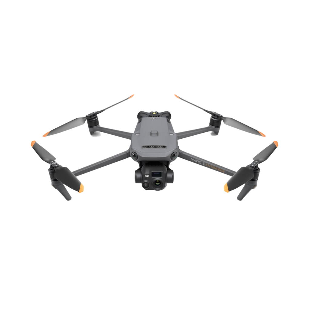
2D and 3D aerial maps can be incredibly helpful tools for a variety of purposes. 2D maps can provide a flat, top-down view of an area, which can be useful for planning purposes. For example, if you are looking to plan a hiking or biking route, a 2D map can show you the best trails and paths to take. On the other hand, 3D maps can offer a more immersive view of an area, showing the terrain and landscape in three dimensions. This can be particularly helpful for understanding the lay of the land and identifying potential hazards, such as steep inclines or rocky outcroppings. Both types of aerial maps can also be useful for more general purposes, such as discovering new areas and getting a better understanding of the geography of a region.
2D shaded elevation maps provide clear and detailed depictions of terrain and land features. They offer businesses and individuals a multitude of benefits such as helping to determine flood risk areas, identifying potential building sites, and optimizing land use planning. For businesses, 2D shaded elevation maps are useful for site selection and facility management. Real estate developers can use them when selecting optimal plots of land for future construction projects. For individuals, 2D shaded elevation maps can be helpful for outdoor enthusiasts and hikers, providing vital information for planning routes and understanding the landscape. Additionally, emergency services can use these maps to plan evacuation routes and respond to natural disasters such as floods or fires. Overall, 2D shaded elevation maps significantly contribute to informed decision-making, providing valuable and essential information for businesses and individuals alike.